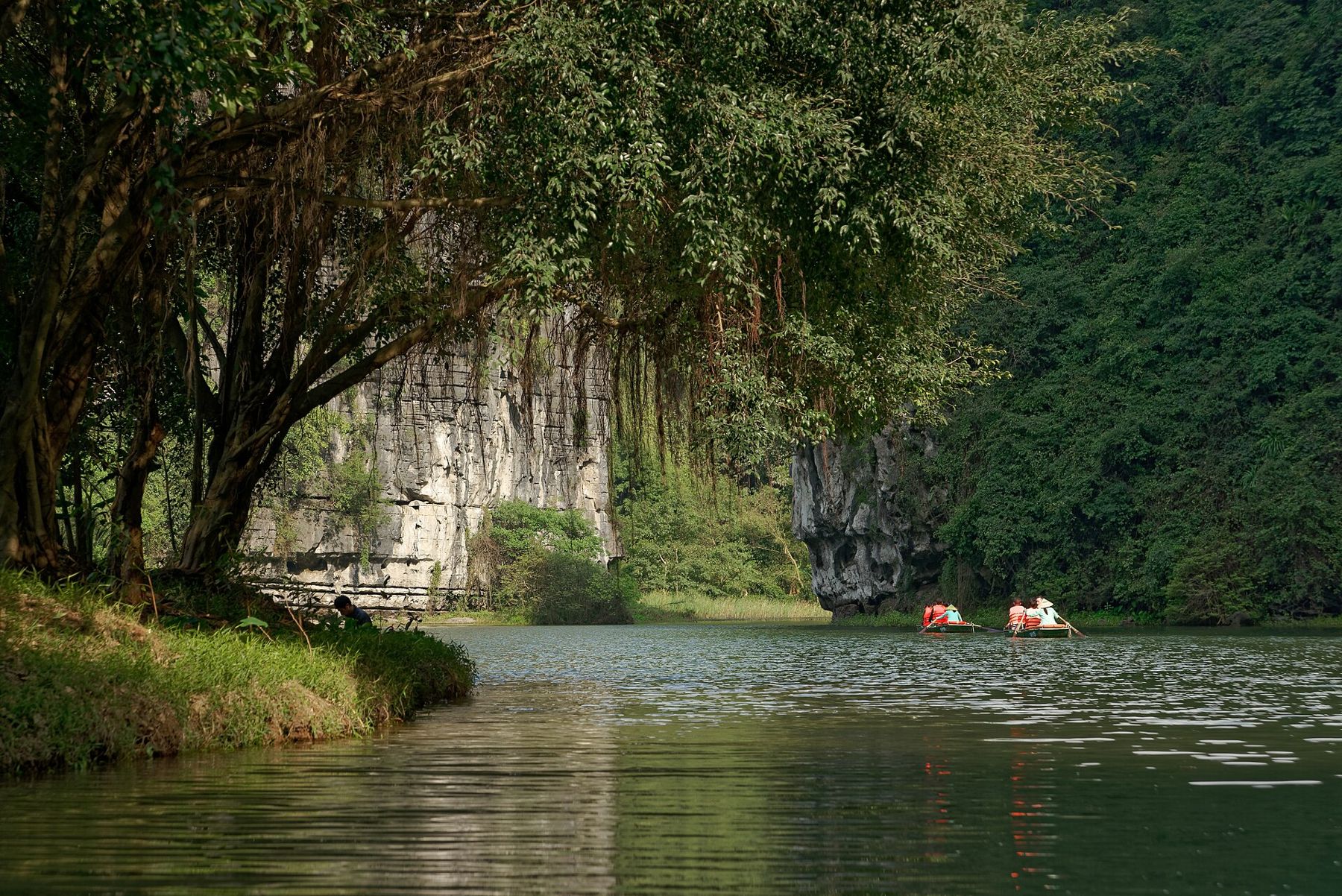
About two hours south of Hanoi, the flat rice country of the Red River delta suddenly breaks into limestone. Steep, forested towers rise straight out of the paddies, rivers wind between them and, in places, run straight through them in low caves. People often call Ninh Bình (Ninh Binh) the inland version of Hạ Long Bay, and the comparison is fair: this is the same kind of karst, but here the water is fresh, the boats are small and rowed by hand, and the fields come right up to the river banks.
Tràng An by rowing boat
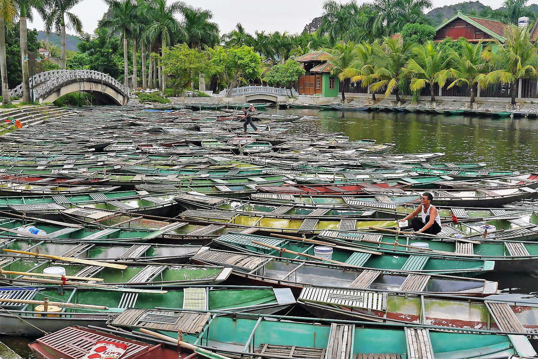
The Tràng An Landscape Complex was inscribed by UNESCO in 2014 as a mixed World Heritage site, recognised both for its natural karst landscape and for the evidence of human life found in its caves, which archaeologists have traced back tens of thousands of years. For visitors, it means a network of rivers, flooded valleys and caves you explore in a small metal or wooden rowing boat carrying a handful of passengers.
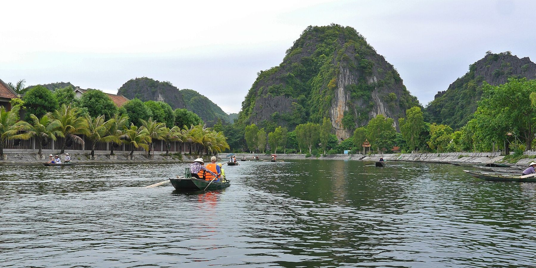
Several set routes leave from the main wharf. Each takes a few hours and passes through a series of caves, some long and so low that you need to duck as the rower steers through in near darkness, before coming out into enclosed valleys where temples and shrines stand on the water's edge. You can usually step off to visit them before rejoining the boat. The routes differ in which caves and temples they include; the ticket desk displays them, and the rowers know them all.
The rowers are mostly people from surrounding villages, and they row for hours in all weather. A tip at the end of the trip is customary and appreciated. Bring a hat, as there is little shade on the water, and keep phones and cameras in a bag or pocket when you go through the caves.
©
CAMERA: Jakub Hałun // CC BY 4.0Tam Cốc through the rice
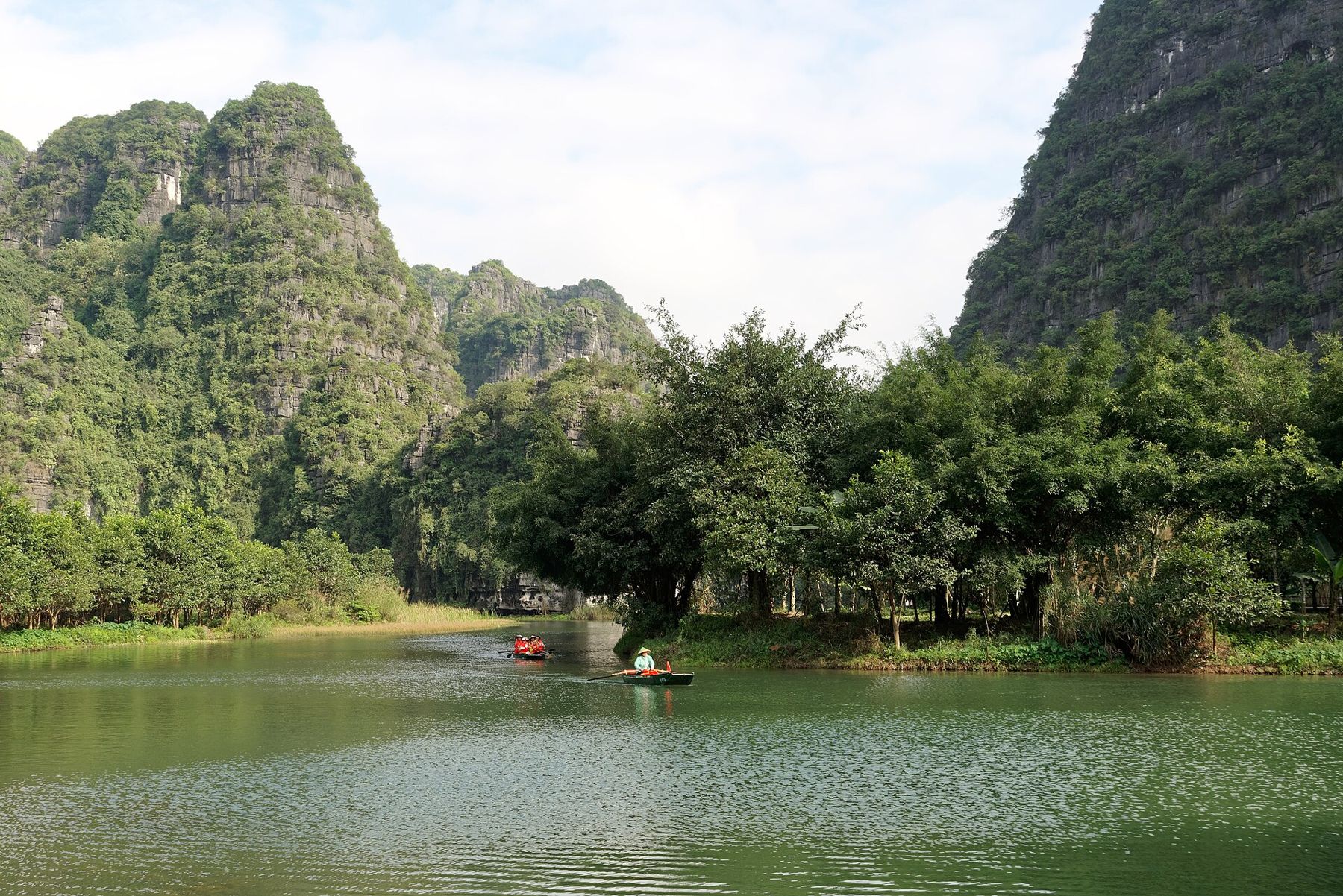
A few kilometres south, Tam Cốc, whose name means three caves, offers a shorter, gentler trip. Boats follow the Ngô Đồng river as it meanders between rice fields and limestone cliffs, passing through three caves before turning around and returning the same way. It takes around two hours. Some rowers famously use their feet to work the oars, leaning back as if pedalling.
The timing of your visit changes the scene completely. For a few weeks each year, usually from late May into early June, the rice along the river ripens to gold and the river becomes a narrow channel through a yellow field. The second crop ripens again in the autumn. Outside those weeks, you see young green rice or freshly flooded paddies, which are lovely in their own way.
At the turning point, vendors in boats may approach to sell drinks and snacks, often suggesting you buy one for your rower as well. It is fine to decline politely, and fine to buy if you want to.
©
CAMERA: travel oriented // CC BY-SA 2.0Near the Tam Cốc wharf, Bích Động is a pagoda built in three levels into the side of a mountain, linked by stone steps and a cave. It is quiet compared with the river, and a good place to rest out of the midday sun.
 Coming up after thisOver the Hải Vân Pass, the ridge that splits the weather
Hoa Lư, the old capital
Ninh Bình's limestone made a natural fortress, and in the tenth century Hoa Lư served as the capital of the kingdom then known as Đại Cồ Việt, under the Đinh and Early Lê dynasties. In 1010 the court moved north to Thăng Long, the city we now call Hanoi.
Little remains of the old citadel itself, but two temples on the site honour the kings Đinh Tiên Hoàng and Lê Đại Hành. They are elegant, quiet buildings with carved stone and wood, set against the cliffs, and they give the boat trips some historical depth. Combine them with a morning at Tràng An, as they lie close together.
North-west of Tràng An, Bái Đính is a very different kind of religious site: a vast modern pagoda complex built in the early twenty-first century, with long galleries of stone arhat statues, huge bronze Buddhas and a tall bell tower. It draws large numbers of pilgrims, especially in the weeks after Tết, the Lunar New Year. The older pagoda, set in caves higher up the hillside, is far smaller and quieter, and many visitors find it the more moving of the two. Allow a good half day if you want to see both, and dress with shoulders and knees covered, as you would at any temple or pagoda in the country.
©
CAMERA: travel oriented // CC BY-SA 2.0The view from Mua Cave
For the classic view over Tam Cốc, climb the mountain at Hang Múa, usually called Mua Cave. A stone staircase of around five hundred steps winds up the rock to a small summit topped by a dragon sculpture, with views back over the winding river, the rice fields and the karst towers fading into the haze. The cave itself, at the foot of the steps, is small; the climb is the point.
The cave itself, at the foot of the steps, is small; the climb is the point.
The steps are steep and uneven, and in the heat they are hard work. Go early in the morning or in the late afternoon, take water, and wear shoes with grip. The top is narrow and can be crowded at sunset, so be careful near the edges.
©
CAMERA: Dominic Nelson // CC BY-SA 4.0Getting around and when to go
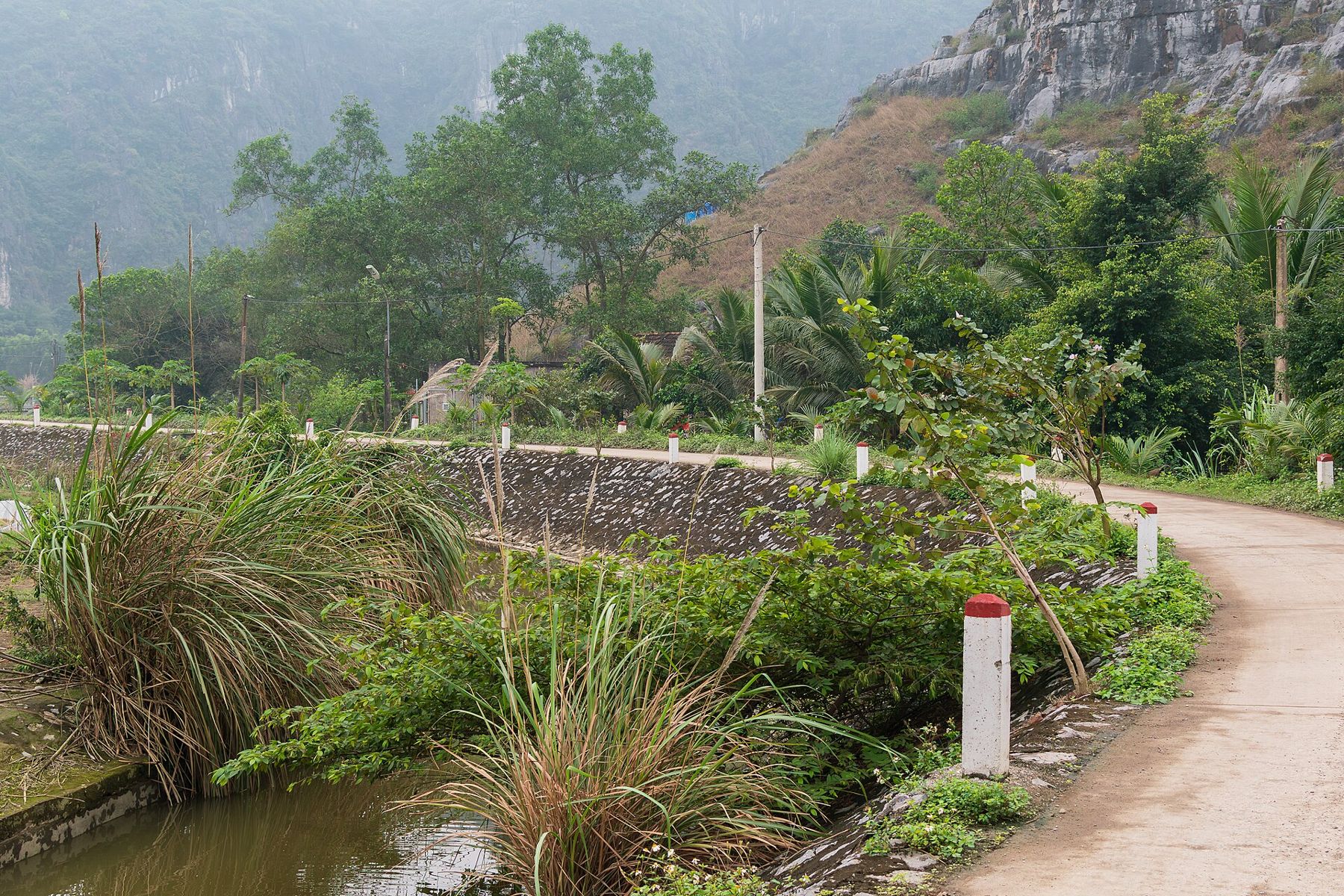
Ninh Bình city has a station on the main north-south railway, so you can arrive by train from Hanoi or carry on south on the Reunification Express. Buses and private cars take around two hours from the capital. Most people stay near Tam Cốc, where the countryside starts at the edge of the village, and travel between the sights by bicycle or motorbike. The roads are flat, the distances short, and the traffic light away from the main highway, though you should still wear a helmet and read up on riding and road safety if you rent a bike.
The weather follows the northern pattern: hot, humid and stormy in summer, cool and often grey in winter. Spring and autumn are the most comfortable. Late May to early June is the time for golden rice at Tam Cốc, though it is also hot. Heavy rain can raise the rivers and temporarily stop some boat routes, so check the day before. If you have more time, the Vân Long wetland nearby offers a calmer boat trip through a nature reserve, and the karst here pairs naturally with the seascape of Lan Hạ Bay.